Welcome aboard, and welcome to Mercury's River Guide. As our boat glides gently along the Chao Phraya, Pa Sak and Lopburi rivers that ring the island city of Ayutthaya — once the capital of Siam and today a UNESCO World Heritage Site — every bend in the water carries you past centuries of history. Watch for the gilded temples of Wat Phanan Choeng and Wat Chaiwatthanaram, the honey-yellow St. Joseph's Church, and the weathered ruins of the old city walls. Settle in, let the river slow your pace, and let these pages tell the stories drifting past your window.
01
Stop 1 · Established 1981 (originally “Pae Thewarat”)
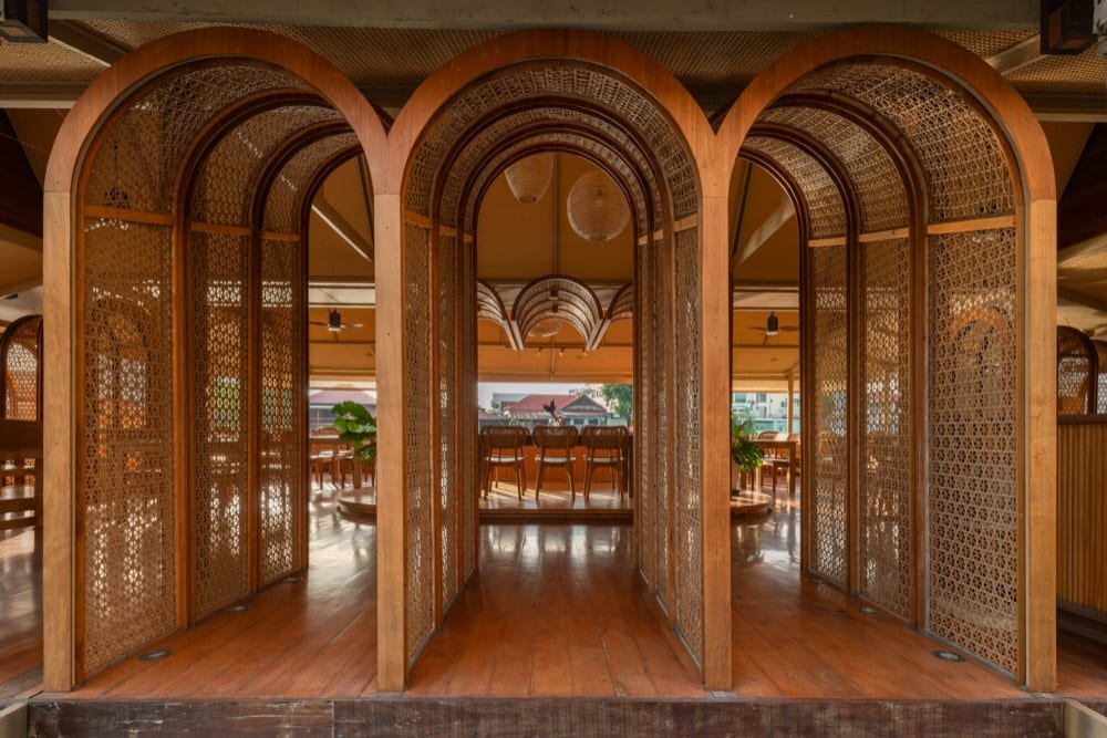
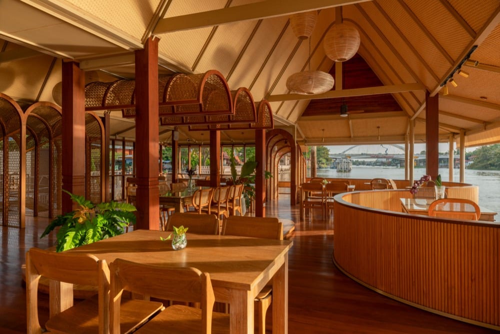
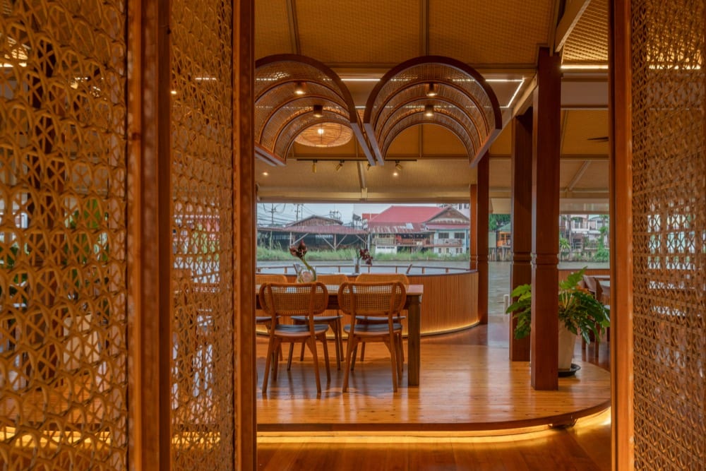
Your voyage begins here, at Tarn — our riverside home on the bank of the Pa Sak River in Ayutthaya, and the pier from which you cast off. The restaurant opened in 1981 as “Pae Thewarat,” a floating raft-house on the water, and has been cherished for decades, passed down through three generations — grandfather, father, and now son. In time the name settled simply into Tarn (ธาร), the Thai word for a stream, an ever-flowing watercourse: a fitting emblem of that unbroken family line, and of the river journey ahead. As you step aboard, look back at the timber deck and the lanterns strung beneath the woven-rattan eaves; catch the scent of Thai cooking on the breeze and a warm greeting carried across the water. Then the boat eases from the bank into the slow current of the Pa Sak, and the old capital — its temples, forts and forgotten villages — begins to drift by. Welcome to Tarn. Let the river lead the way.
Did you know
Did you know? Tarn began in 1981 as a floating raft-restaurant called “Pae Thewarat,” and its riverside hospitality has since been handed down across three generations.
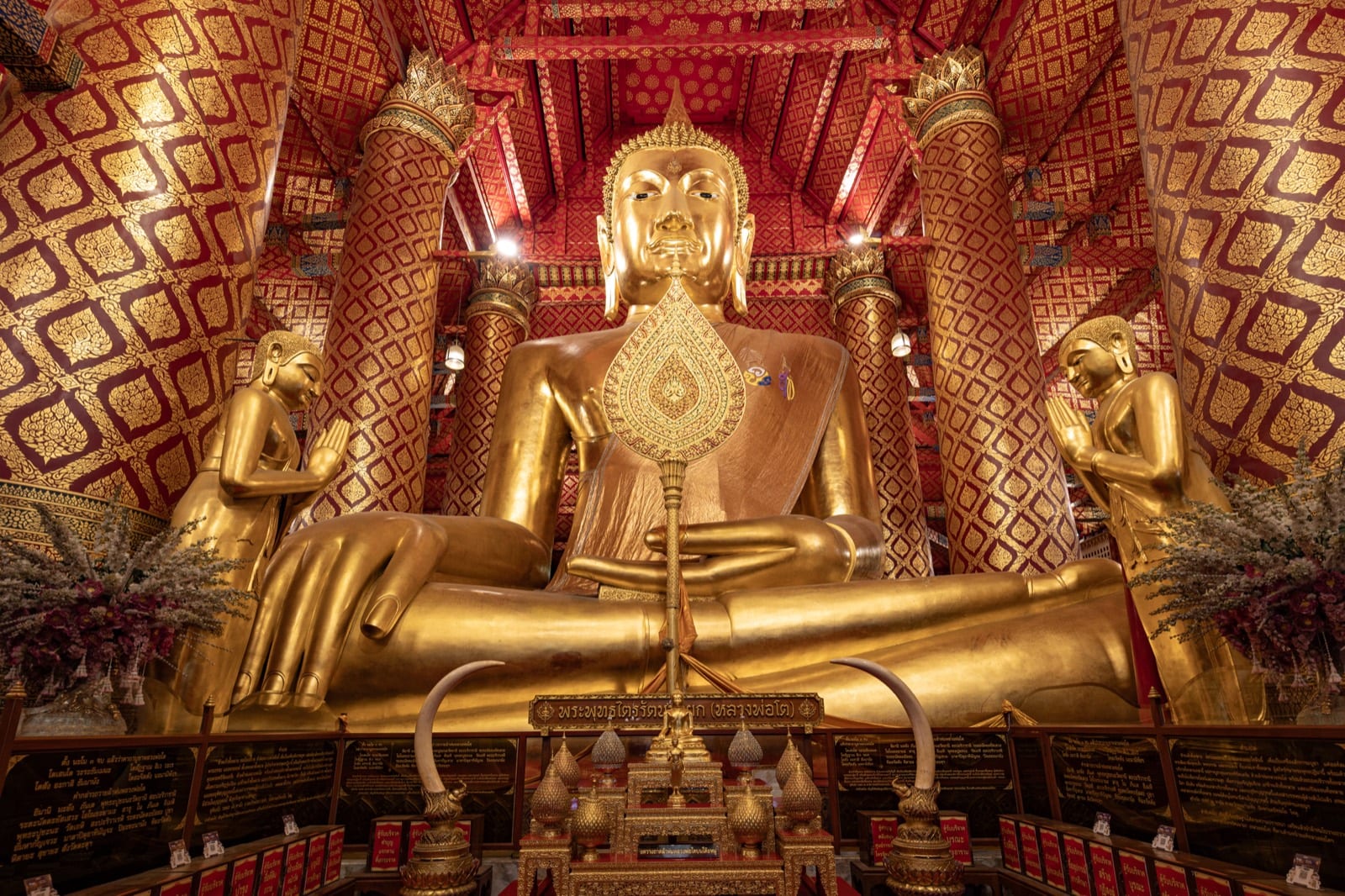
Where the Chao Phraya meets the Pa Sak at the island city's south-eastern corner, Wat Phanan Choeng rises straight from the water's edge, facing the tip of old Ayutthaya. Watch for its tall white wihan and tiered gilded roofs breaking the skyline above the riverbank. Within sits Luang Pho To (Phra Buddha Trai Rattana Nayok), a colossal seated Buddha in the Subduing Mara posture — roughly 19 metres tall with a lap span near 14 metres, and among the largest such images in Thailand, cast in 1324, twenty-seven years before Ayutthaya was founded. Red-and-gold Chinese shrines and lanterns stand beside classic Thai architecture, a legacy of centuries of Thai-Chinese devotion. In 1407 the Ming admiral Zheng He is recorded to have paused here to honour the temple during his great voyages.
Did you know
Did you know? Chinese devotees call the great Buddha 'Sam Po Kong,' and legend says that just before Ayutthaya fell in 1767, tears flowed from its eyes down to its navel — as if the image itself wept for the doomed capital.
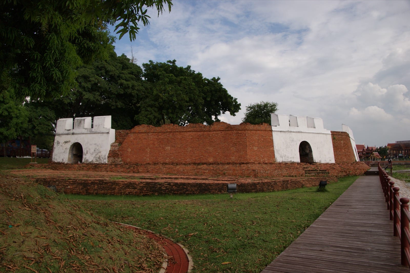
Look to the island's south-eastern corner, where the Pa Sak River pours into the Chao Phraya. That low brick rampart rising from the bank is Pom Phet — the strongest and most important of Ayutthaya's ring of city-wall forts. King Maha Chakkraphat raised it in brick and laterite in the mid-1500s, in the sober years after Ayutthaya's first great war with Burma, once the kingdom had entered the age of gunpowder. Its walls run some fourteen metres thick, its hexagonal bastion thrusting out beyond the city wall, pierced by eight cannon ports that swept the water. Every foreign ship sailing up the river had to drop anchor here for inspection before it could reach the capital — none passed this point uncleared. King Narai had a Sicilian Jesuit engineer rebuild it in 1663. When most of Ayutthaya's forts were later stripped for brick to raise Bangkok, Pom Phet survived — one of only two forts still standing.
Did you know
Did you know? The name "Pom Phet" means "Diamond Fort" — a nod to its reputation as Ayutthaya's toughest bastion, and the customs gate where every foreign ship had to halt before reaching the capital.
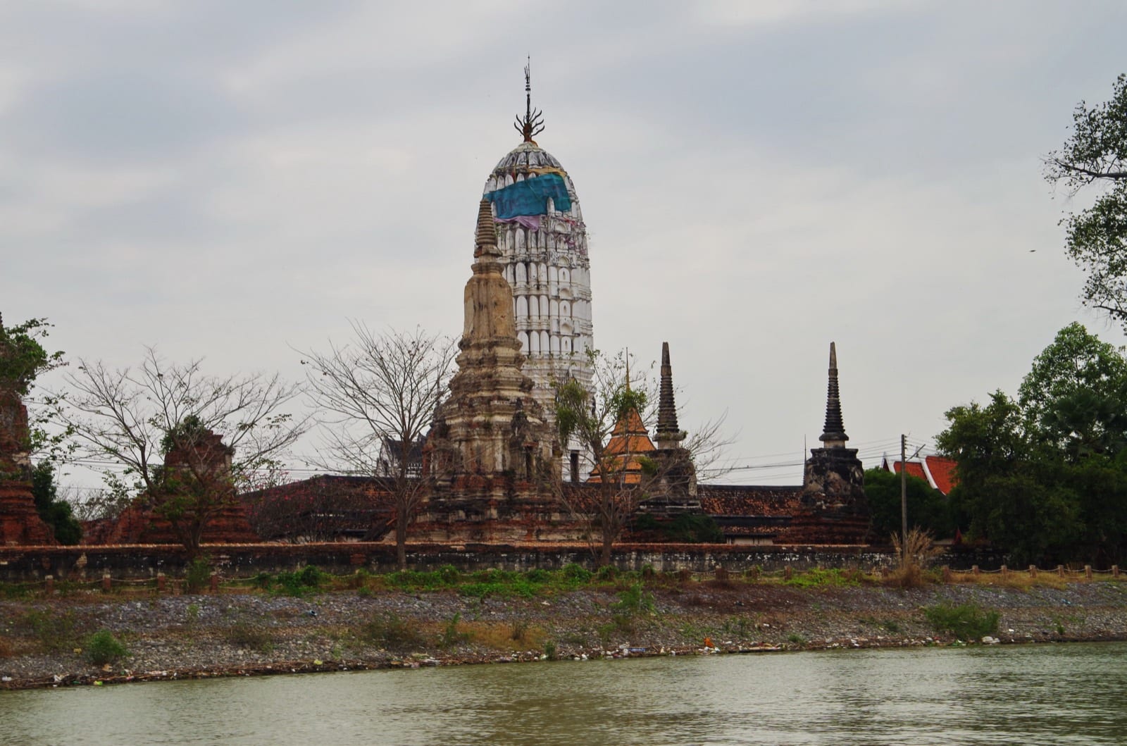
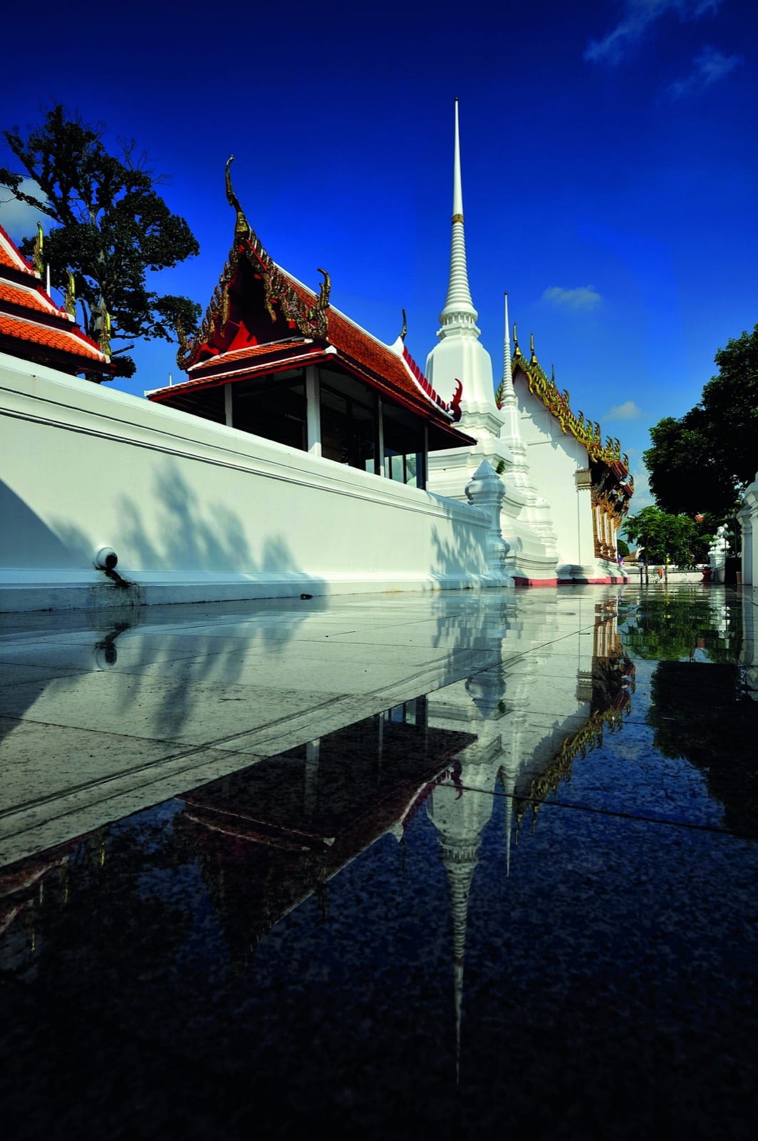
Look to the west bank of the Chao Phraya, across from the southern side of the city island, and you will see a gleaming white central prang rising above its roofed cloister and the riverside trees — a bright, intact landmark on a river of ruins. Tradition holds that King Ramathibodi I (U-Thong), founder of Ayutthaya, raised this royal monastery in 1353 on the ground of 'Wiang Lek,' where he is said to have first settled before founding the capital. Crucially, Wat Phutthaisawan was one of the very few temples to survive the Burmese destruction of 1767 largely intact — which is why its Khmer-style prang, set on a pedestal projecting north and south to evoke Mount Meru, still stands whole today. It is one of the rare places on the loop where you glimpse an Ayutthaya prang as it was meant to look, rather than as a blackened ruin. (Some scholars, following French sources, credit King Narai in the late 17th century, and the standing architecture is mid-to-late 17th-century in style — so the present temple may rebuild an earlier U-Thong foundation.)
Did you know
Did you know: because it escaped the torching of 1767, this white prang still stands whole — one of the few points on the loop where you see an Ayutthaya prang as it was meant to look.
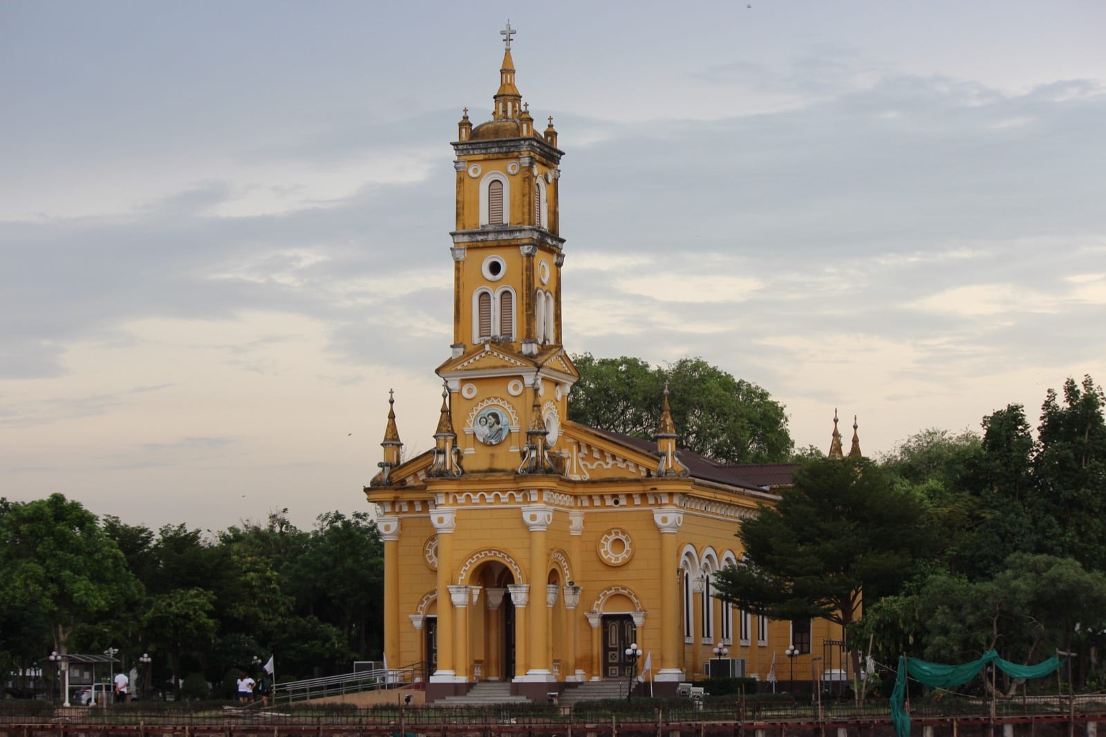
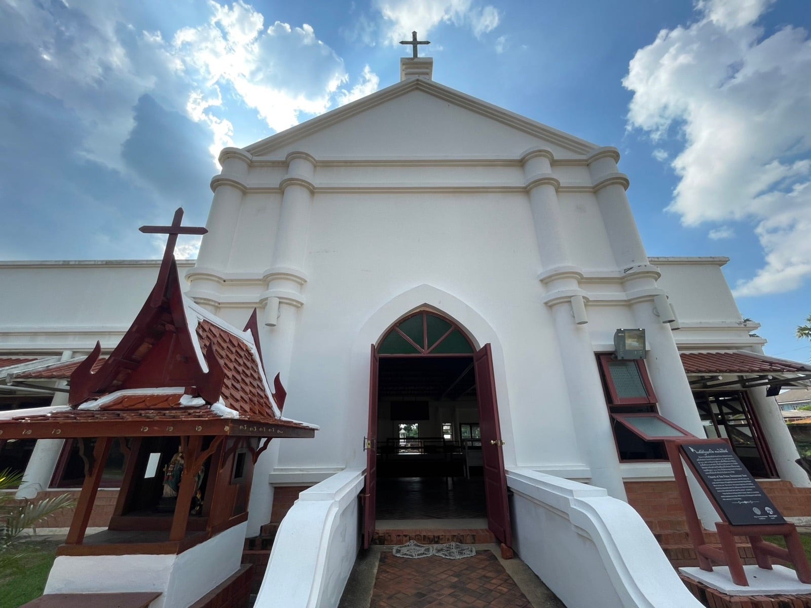
This luminous yellow church is the birthplace of Roman Catholicism in Siam, tracing its origin to a wooden chapel built in 1666 by the French bishop Pierre Lambert de la Motte on land granted by King Narai. Watch for its Romanesque bell tower and symmetrical facade rising almost straight from the bank of the Chao Phraya, designed by the Italian architect Joachim Grassi and completed in 1891. The warm ochre-yellow walls glow vividly against the green riverside, making this one of the loop's most recognizable and photogenic landmarks. It stands in striking contrast to the Buddhist temples that surround it, a vivid marker of a Catholic community that has endured on this exact bank for over 350 years.
Did you know
Did you know? This is regarded as the cradle of the Catholic Church in Thailand — the yellow church you see today is the fourth chapter of a story that began on this very riverbank over 350 years ago.
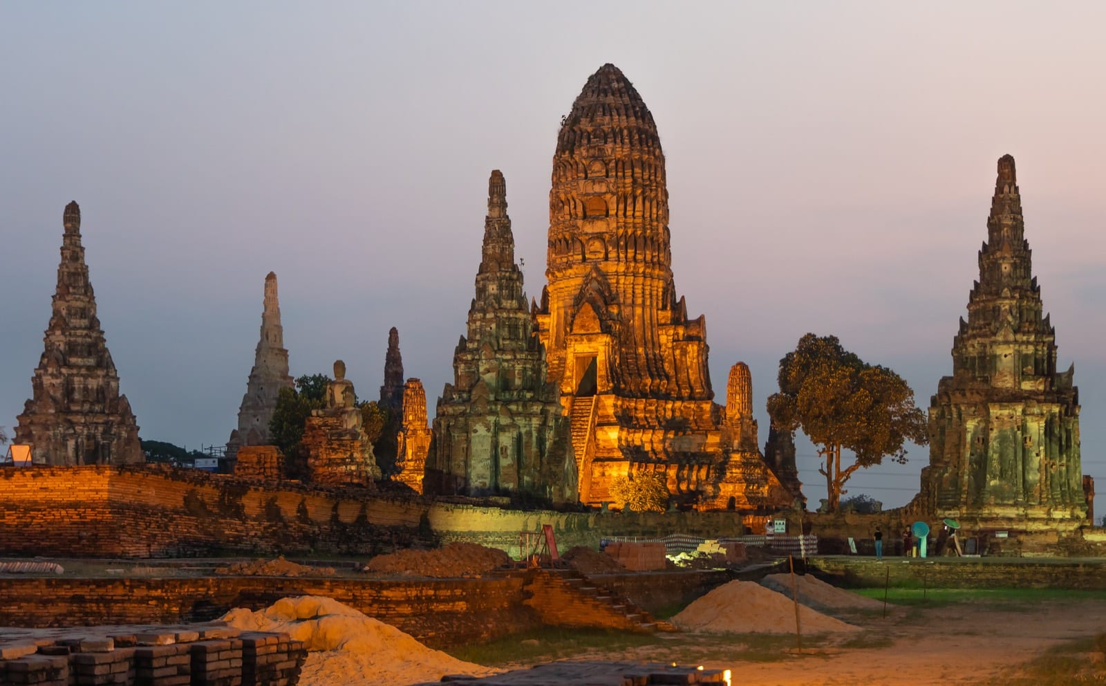
On the western bank of the Chao Phraya, Wat Chaiwatthanaram offers the single most dramatic river view of the entire island loop, its full silhouette turned broadside to the boat with almost nothing to block it. King Prasat Thong raised it in 1630 as the first royal monastery of his reign, on ground linked to his mother's former residence — a gesture of merit that, by reviving the monumental Khmer temple-mountain form, also proclaimed the usurper-king's legitimacy against the prestige of the old Angkorian god-kings. Look for the 35-metre central prang standing for Mount Meru, ringed by four corner prangs and a ring of chedi-shaped chapels, all raised on a broad terrace. When Ayutthaya fell to the Burmese in 1767, the Buddha images lining the cloister gallery were beheaded, leaving the haunting headless silhouettes that remain the temple's emblem. Time your passage for dusk, when the western sky sits directly behind the spires and they blaze gold and rose — the reason this is the prime turnaround point for evening cruises.
Did you know
Did you know? In the great 2011 floods the temple stood under some 2 metres of water for weeks — a 12-year Thai–U.S. conservation partnership finished restoring it only in 2024.
On the Chao Phraya's western bank, off the north-western tip of the city island near Ban Pom, look for a whitewashed, living monastery rising just back from the water — not a jungle-swallowed ruin but a temple still humming with monks and daily merit-making. Its signature is the principal prang: notably stout and rounded, visibly heavier and less tapered than the slender classic prangs elsewhere on the loop, and built with no interior stair to the relic niche. Presumed to date from the Middle Ayutthaya period, the temple owes most of what stands today to a thorough early-Rattanakosin restoration under Prince Krom Khun Isaranurak, a nephew of King Rama I. Behind the ordination hall and rounded tower stretches the flat expanse of the Thung Prachet field, framing a lived-in silhouette that reads very differently from the silent royal ruins nearby. Watch the west bank as the boat rounds the island's north-west — the squat, rounded prang is the easy 'odd-one-out' to pick out from the water.
Did you know
While the great royal temples nearby fell into ruin, Wat Kasattrathirat was never abandoned — it has stayed a functioning monastery straight from the Ayutthaya era to today, which is why it still hums with monks while the royal ruins stand silent.
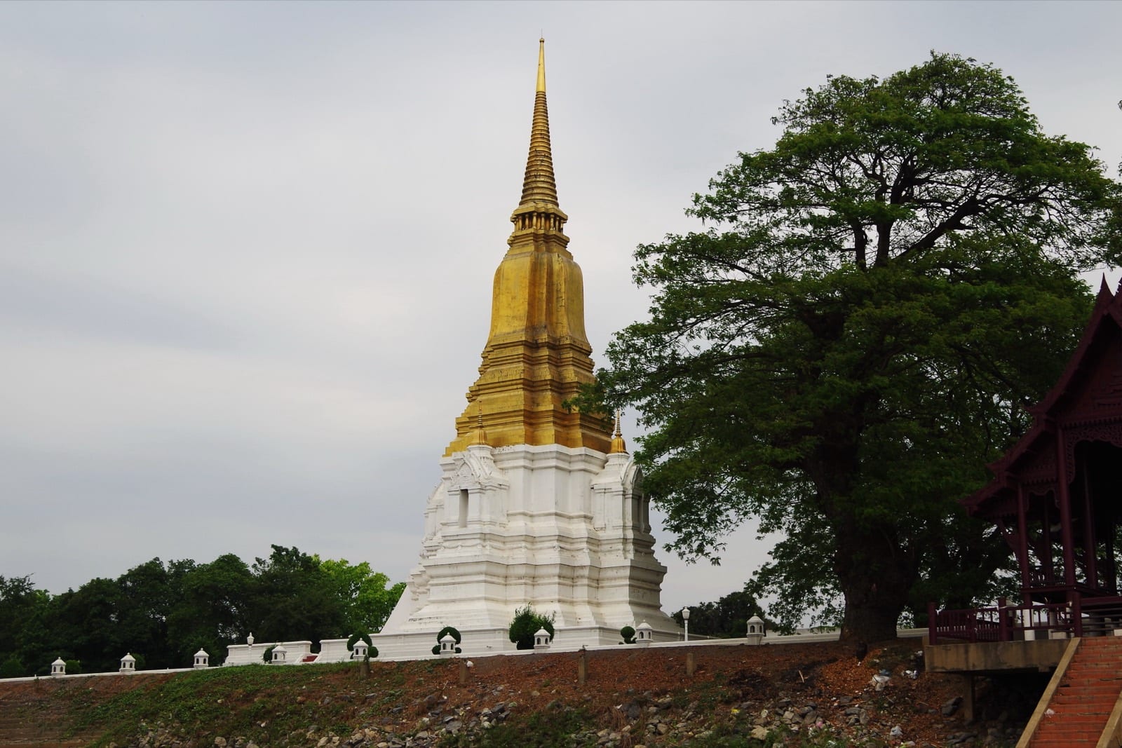
Look to the western bank of the island and one pale-gold spire stands alone above the Chao Phraya — the Chedi Si Suriyothai, raised to a queen who died to save her king. In 1548 the Burmese king Tabinshwehti marched on Ayutthaya, and Queen Suriyothai, chief consort of King Maha Chakkraphat, rode out disguised in the armour of a viceroy, mounted on a war elephant at her husband's side on the plain of Phu Khao Thong. When the king's elephant faltered and the Burmese Viceroy of Prome bore down on him, she drove her own elephant between them to block the pursuit — and was cut from shoulder to heart by his war-halberd, falling on the elephant's neck together with her young daughter, Princess Boromdhilok. After the war Maha Chakkraphat cremated her here in the royal garden and raised this chedi over the spot, dedicating the ground as Wat Suan Luang Sop Sawan. Its slender, corner-indented tower has been a river landmark ever since.
Did you know
Did you know? King Rama IV so admired this chedi's form that he had it copied as his own reign's memorial stupa at Wat Pho in Bangkok, where it still stands among the four royal chedis.
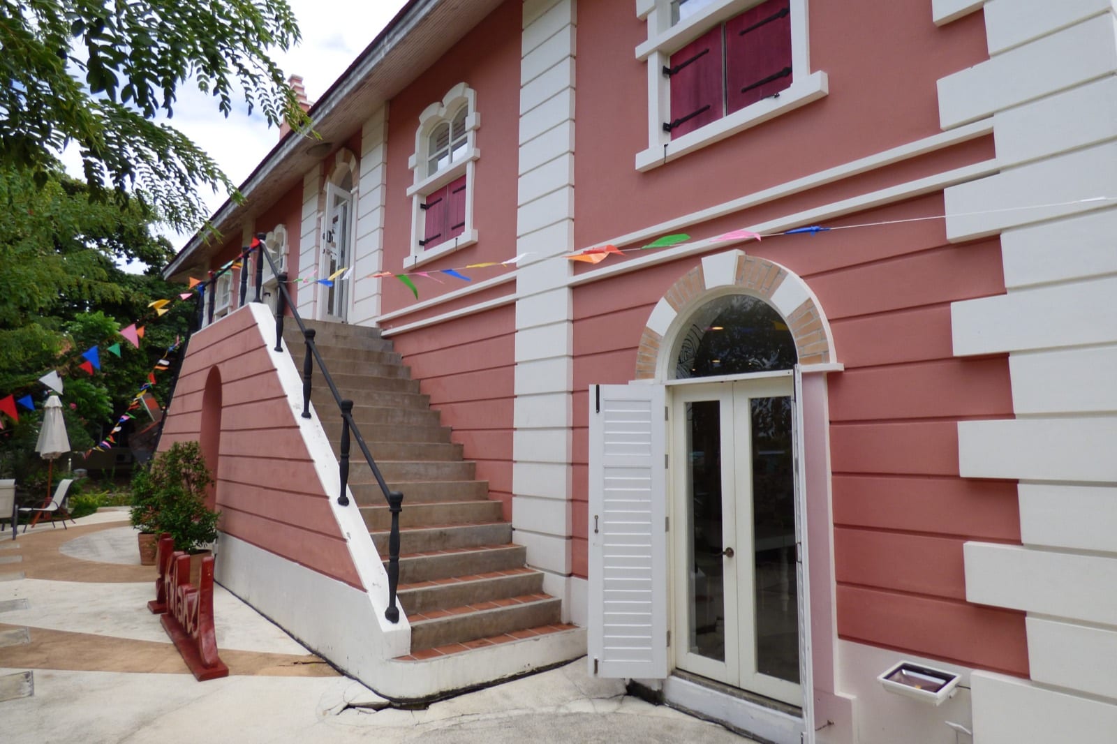
On the southern reach of the Chao Phraya, on the same bank as the Japanese Village and right beside it, watch for an elegant white Dutch-styled museum rising above low courses of old brick. This is the site of the Dutch East India Company (VOC) trading post, granted riverbank land in 1634 and completed as a two-storey brick lodge by 1636 — so distinctive among the town's wooden houses that the Siamese named it Tuek Daeng, 'the Red Building,' reputedly the grandest foreign compound in the kingdom. The Burmese razed it when Ayutthaya fell in 1767, and the present information centre now stands atop the excavated foundations you see from the water. As you glide past, picture the deer-hide and sappanwood trade that once linked this modest bank to Nagasaki and Amsterdam.
Did you know
The lodge's manager, Jeremias van Vliet (1633–1642), wrote the oldest surviving chronicle of the Siamese kings — still used as a primary source today.
On the southern stretch of the Chao Phraya, on the bank opposite the old Japanese and Dutch quarters, watch for the low riverside archaeological compound of the oldest European community in Siam. The Portuguese were the first Western nation to reach Ayutthaya, in 1511, and in 1540 King Chairacha granted this land to some 120 Portuguese mercenaries, founding a settlement that grew at its peak to an estimated 2,000 households and three rival churches. Its heart is the ruined San Petro (St. Dominic's) church, founded in 1540 and considered the first Christian church in Thailand — now only low brick-and-laterite foundations beneath an open excavation shelter. Set back a short way from the water, that shelter guards more than 250 human skeletons laid out in and around the church, buried alongside coins, rosary beads and crucifixes. This is not a soaring monument but a poignant, ground-level page of history you glimpse from the deck.
Did you know
Golden Thai palace sweets like foi thong and thong yip trace straight back to this riverbank — carried into the royal kitchen by Maria Guyomar de Pinha, a Luso-Japanese-Bengali woman born in Ayutthaya in 1664 who ran King Narai's royal kitchens.
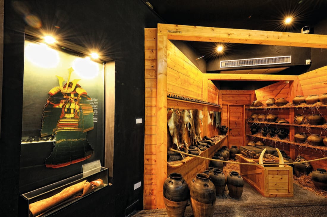
Look to the southern reach of the Chao Phraya — on the bank opposite the Portuguese Settlement and just upstream of Baan Hollanda, the Dutch village — where a riverside memorial park, a Japanese-style museum pavilion and its gardens run right down to the water. On this bank once stood a community of roughly one to fifteen hundred Japanese: traders, Christian converts fleeing Tokugawa-era persecution, and ronin, masterless samurai who had lost at Sekigahara and the Siege of Osaka. From 1617 to 1630 the village was led by Yamada Nagamasa, a samurai adventurer who served King Songtham as a mercenary commander and rose to the noble Siamese rank of Ok-ya Senaphimuk. No original seventeenth-century buildings survive, so it is the setting and the story that hold you rather than standing ruins. These were the muscle and the middlemen of a booming trade that sent Siamese deer hides to Japan by the hundred thousand — in 1624 Yamada himself shipped a cargo of deerskins to Nagasaki, and the Dutch VOC courted him as a key supplier.
Did you know
Did you know? In 1624 Yamada Nagamasa personally sailed a cargo of Siamese deerskins to Nagasaki — one riverbank feeding a trade that shipped hides to Japan by the hundred thousand.